

The following photographs will clarify some of the points raised in each section. A link to each photograph is referenced on the corresponding page. Click on a photograph to see a larger image.

View from Macalister Range across dry season creek bed

One of the many tributaries that feed Spring Creek, viewed from a ford on the Twin Bridges Trail

View to Double Island and Yarrabah from Macalister Range Lookout

Hartleys Creek meets Wangetti Beach
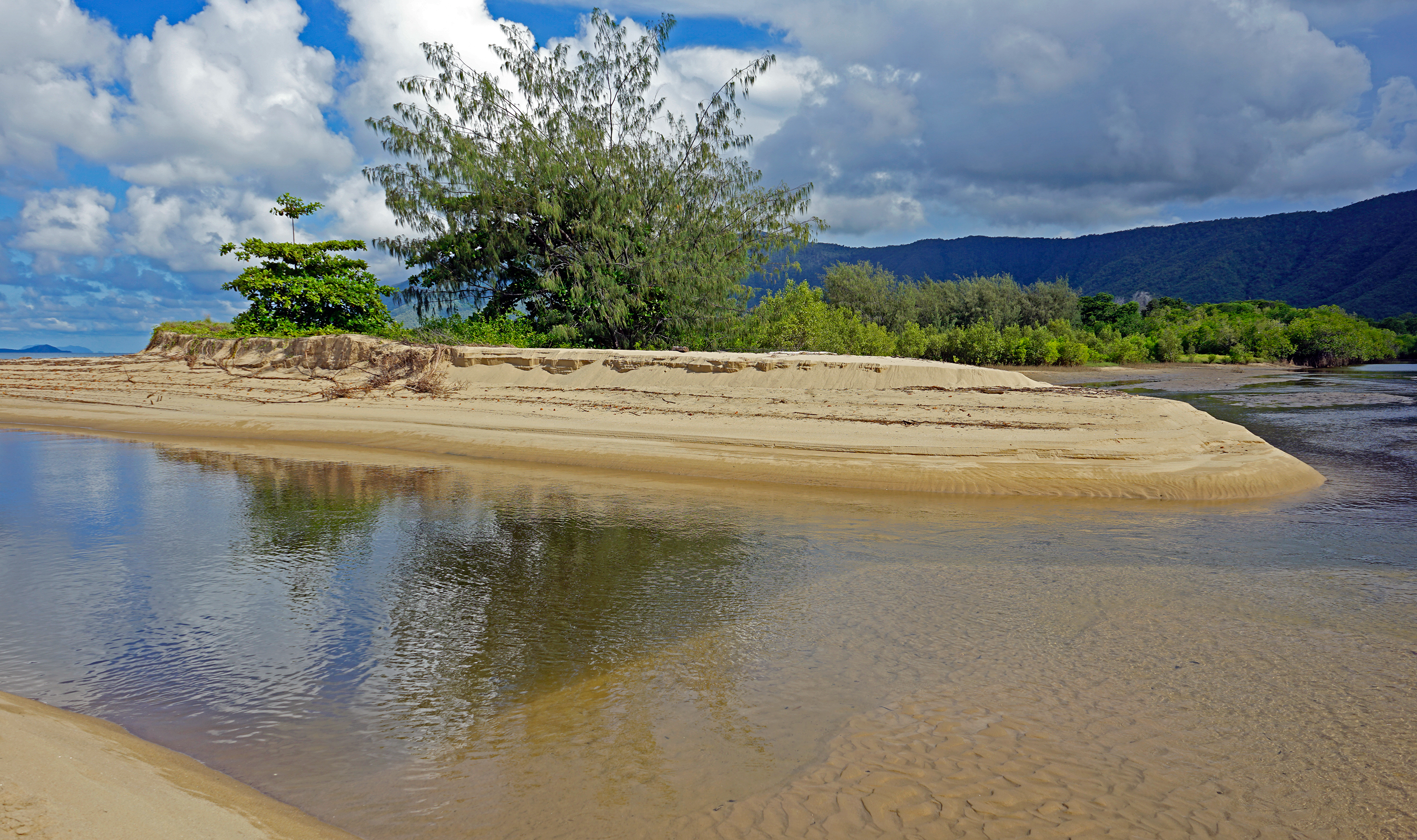
Tin Creek (background, right) meets Hartleys Creek before draining out to the sea (left)
High above the escarpment, the most southerly permanent tributary of Hartleys Creek
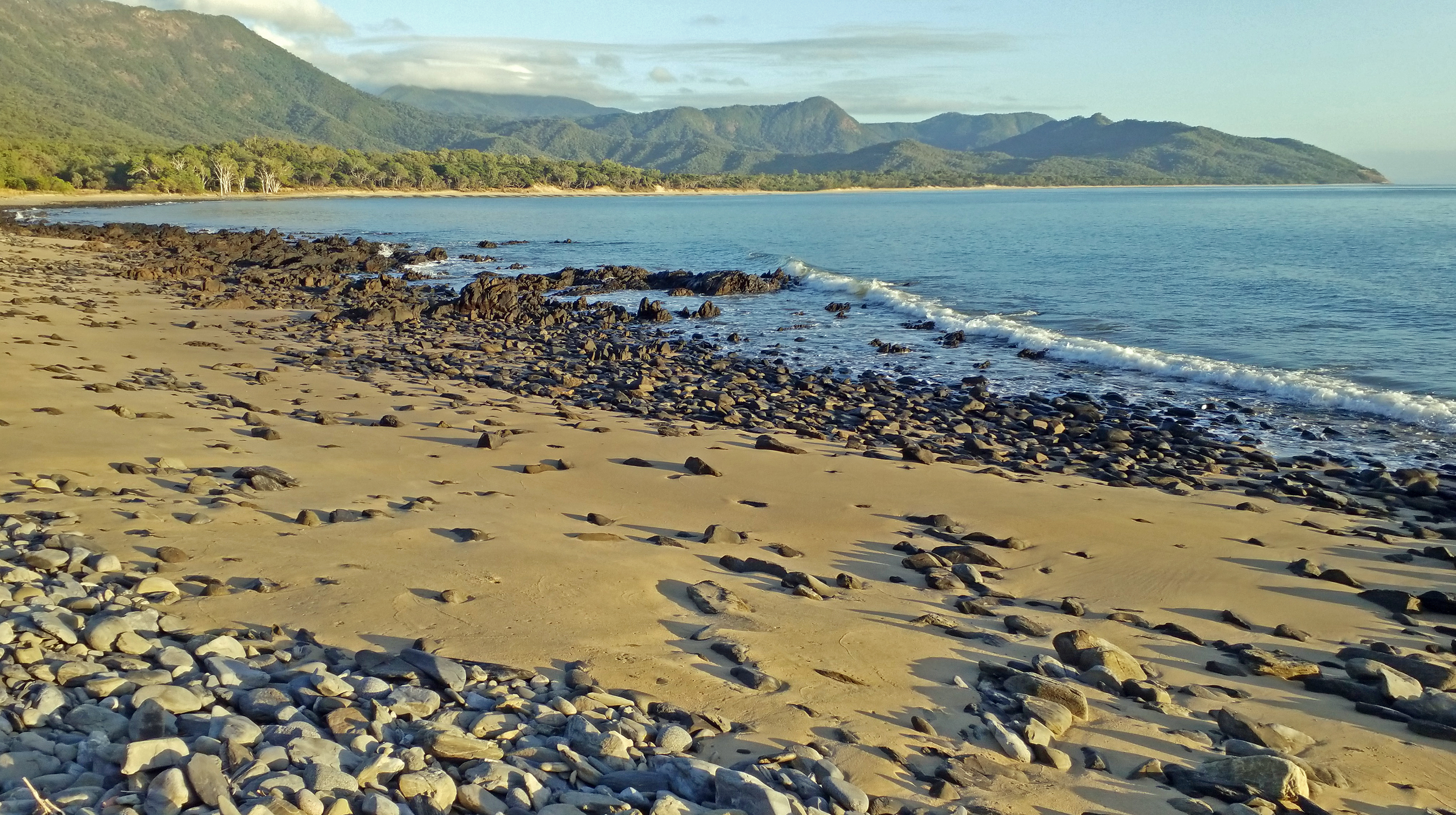
Wangetti Bay from Red Cliff Point to Rex Lookout (Harris Peak under cloud)

Beneath the Casuarinas on Wangetti Beach

Foreshore lake at South Wangetti
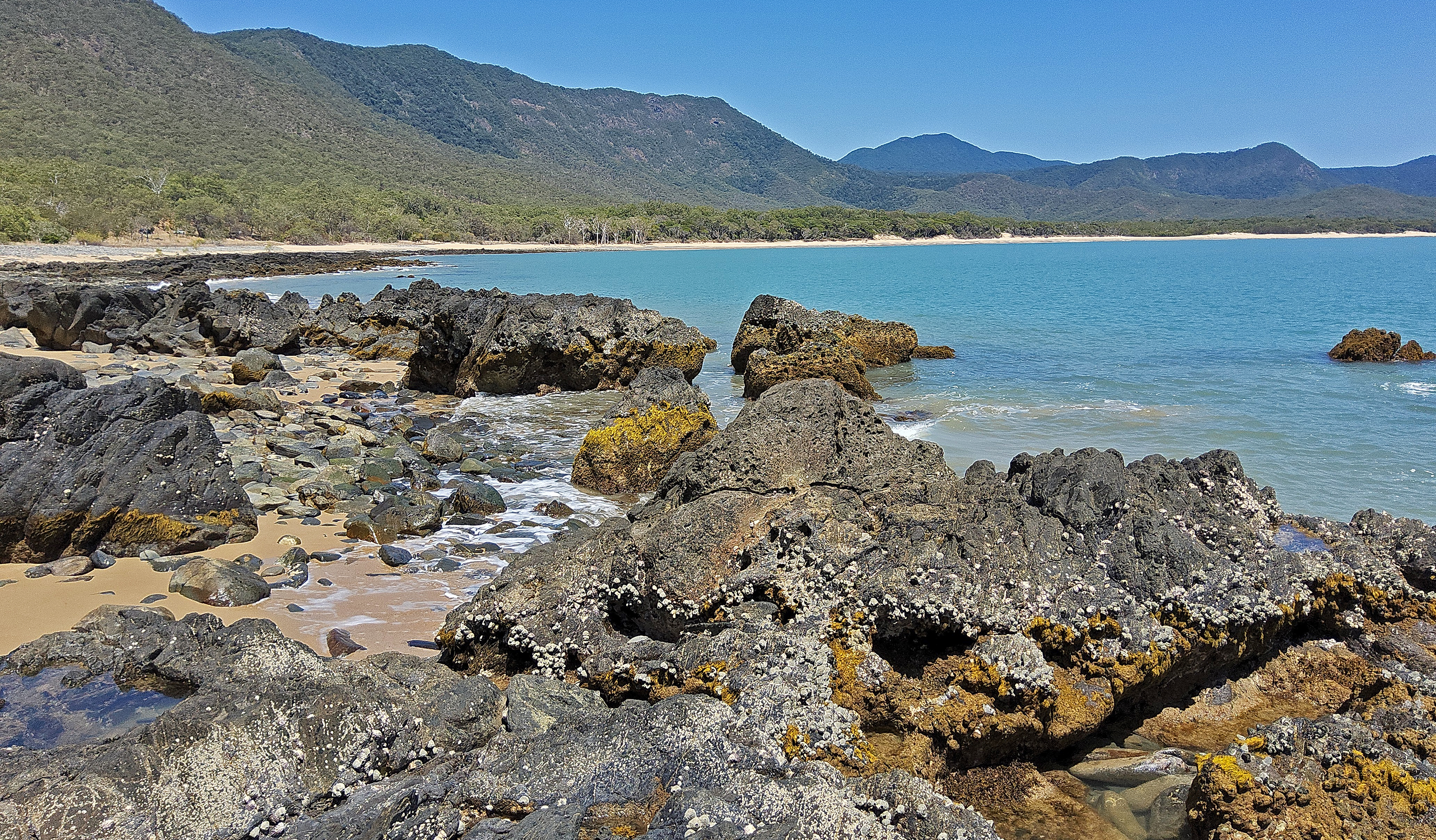
Low tide view to Macalister Range and Harris Peak

Surfing South Wangetti During TC Narelle
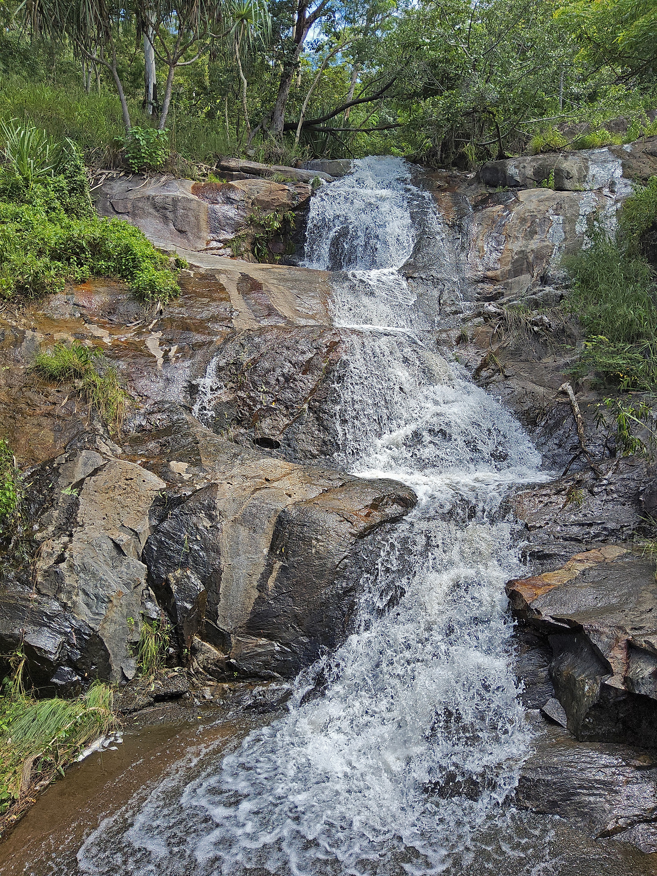
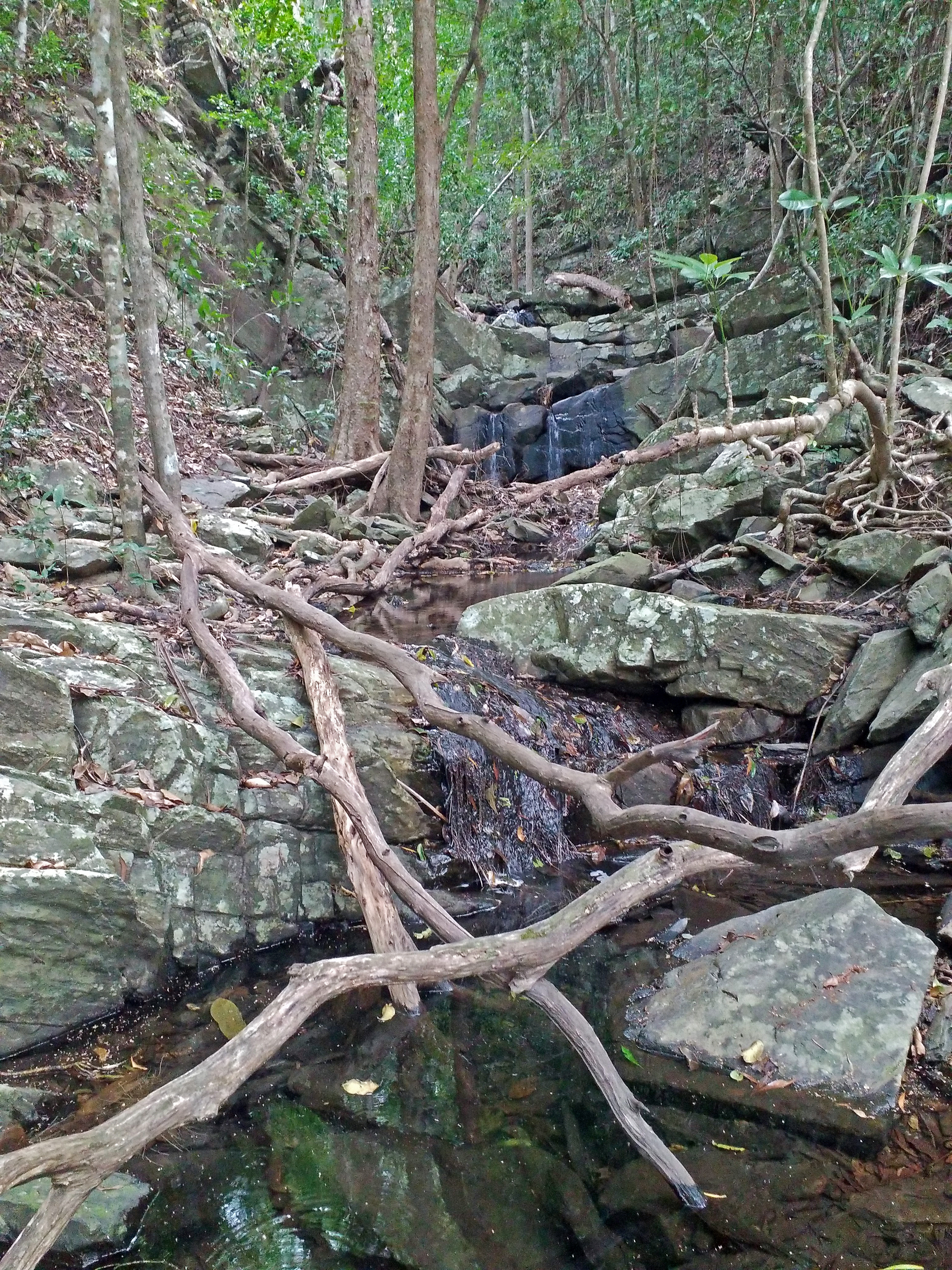
Wet Season Roadside Waterfall
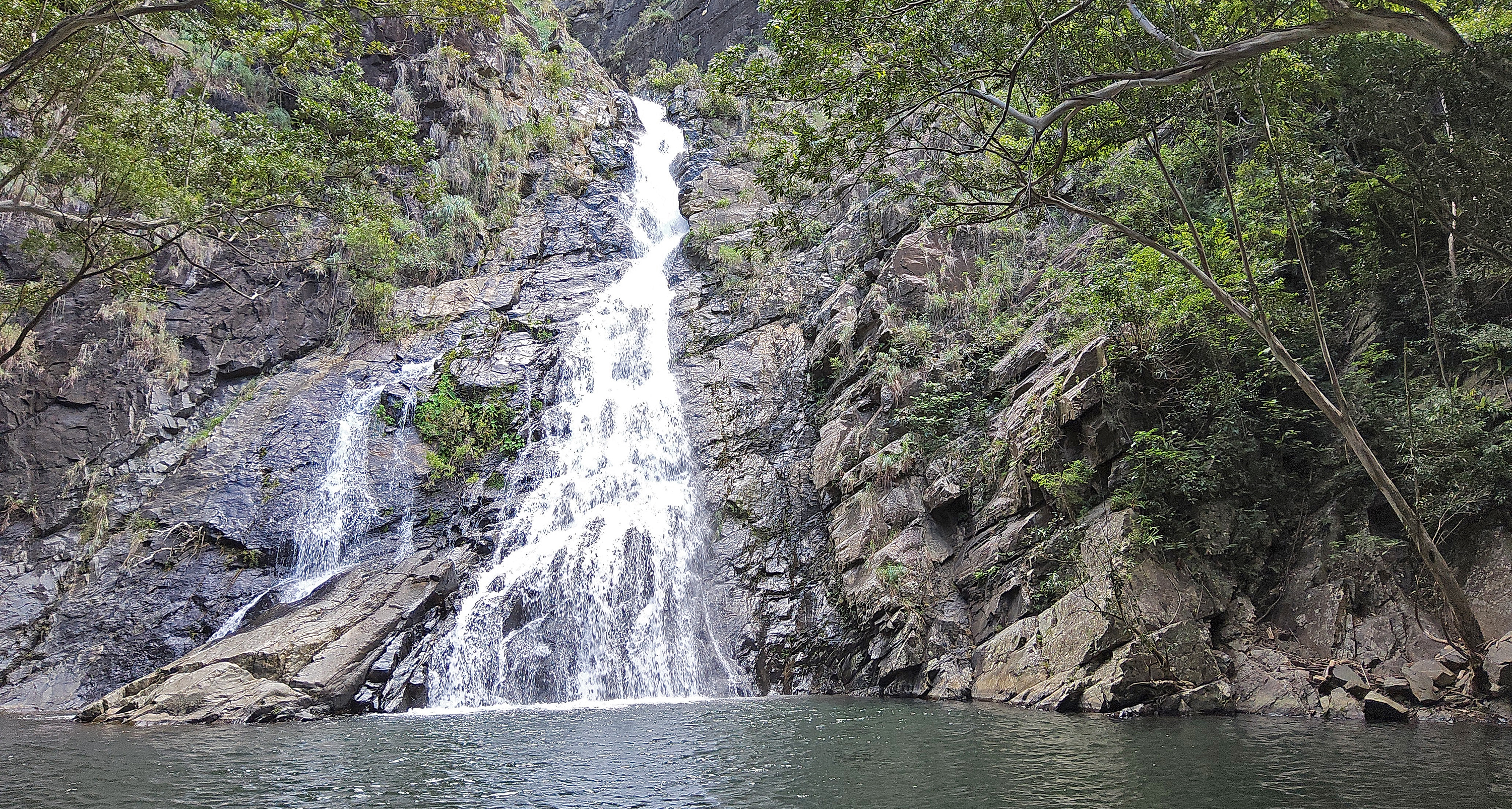
Hartleys Creek Waterfalls May 2026
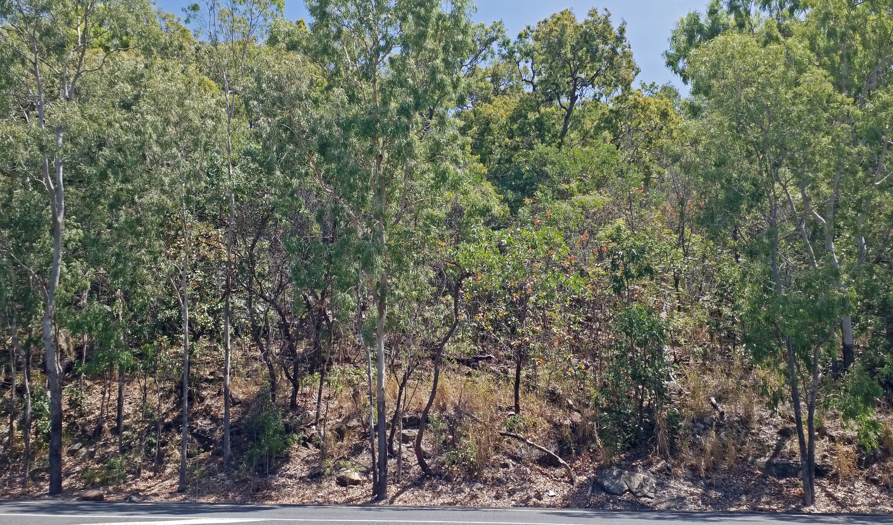
Section of Wangetti township forest that will be destroyed if Wangetti Trail route is not altered

Two of the three original stone Hartley's Creek bridge piers (centre pier has fallen over)

Early passenger/mail bus in front of Hartley's Creek Kiosk (1930's)

Hartley's Creek Fauna Reserve 1963
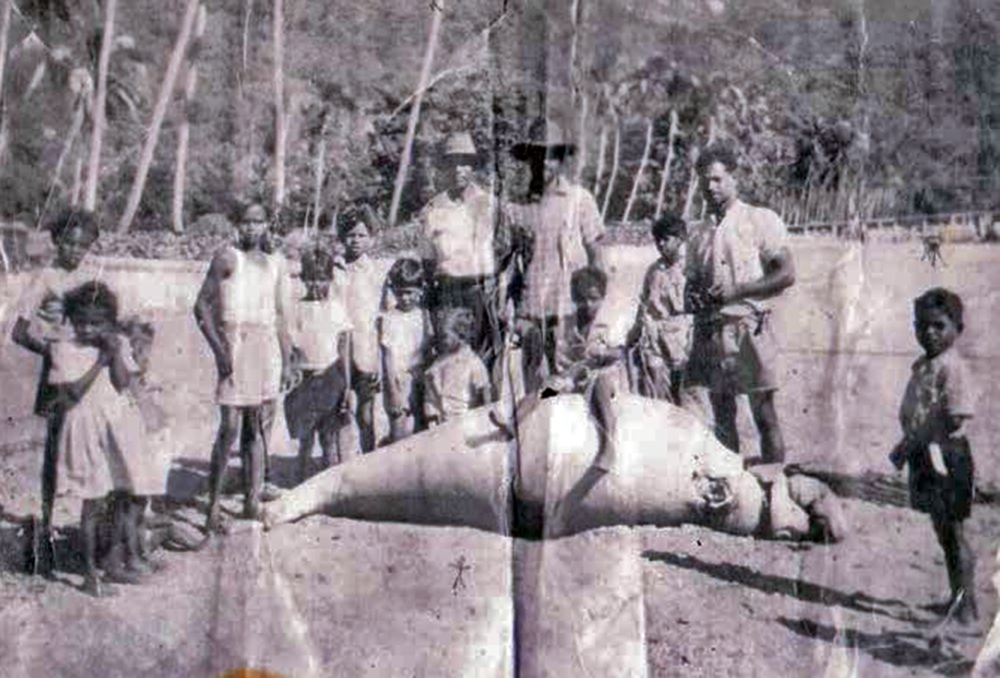
Yirrganydji - Singleton extended family at Yarrabah, with freshly caught Dugong (1950's)
Page unfinished.....